Earls Dyke Beach Photo
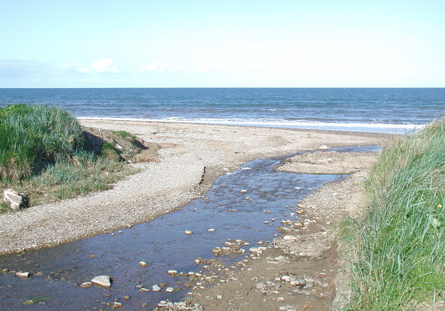
The Earl's Dike, Fraisthorpe
Ancient stream improved as a land drain on the old northern boundary of Barmston parish, which was also one of the old boundaries of Holderness wapentake. Fraisthorpe with Auburn and Wilsthorpe were added to the new civil parish of Barmston in 1935 so the parish boundary moved further north. Under the Beverley and Barmston Drainage Act of 1798, part of the Earl's Dike (and also part of the Barmston Main Drain to the south of the village) was diverted eastward to the North Sea from its natural westward course into the floodplains of the River Hull.
© Paul Glazzard and licensed for reuse under this Creative Commons Licence
Taken at: Earls Dyke Beach, North East England
Date taken / added: 19th May 2008


